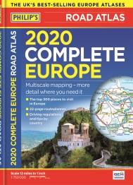
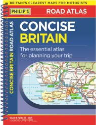
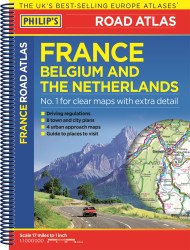
“The detail you need at a size you can read”
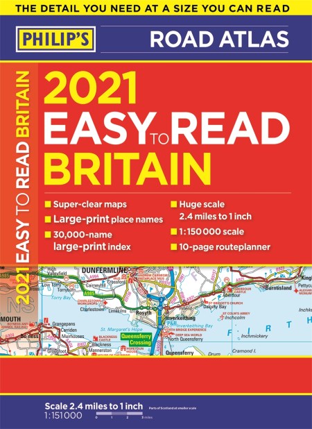
The new 2021 Easy to Read Britain road atlas from Philip’s
– Large print maps
– Huge 1:150,000 scale (approx 2.4 miles to 1 inch)
– Large print place names
– Large print index
– Super-clear 10-page routeplanner
At last, a Road Atlas that everyone can read easily in the car, no matter the conditions. Large scale maps. Large print place names. Clear road colours (which are easier to read in the dark). Large print index. And a special routeplanning section that’s almost a road atlas in itself.
If it’s dark – or simply if you can’t find your glasses – the new Philip’s Easy to Read Atlas of Britain is the answer – wherever you’re driving in England, Scotland or Wales.
Newsletter Signup
By clicking ‘Sign Up,’ I acknowledge that I have read and agree to Hachette Book Group’s Privacy Policy and Terms of Use
